
Glendale Neighbors in the Official Record
A block search works only when each source is read for what it actually records. The Assessor and GIS show land, parcel shape, and map context. A permit can show a project party. A reverse directory can show a listed occupant for a past year. A voter file has its own statutory access rules. An HOA map identifies an area, not its members. This coverage table keeps those roles distinct.
| Source | What It Shows About a Block | Access |
|---|---|---|
| Assessor and GIS maps | Parcel pattern, AINs, touching lots, zoning, historic layers, and city context | Free map tools; owner identity is an offline or approved county channel |
| LA County Assessor portal | Situs address, property characteristics, values, and transfer clues | Free address or AIN search; no owner-name web search |
| Glendale permits | Work, case dates, and owner, applicant, architect, or contractor clues | Tyler EnerGov public search plus an address-based request for omissions |
| Voter verification and files | Self-registration status, or controlled registration data for a permitted requester | Four-field self check; full or selected files require a lawful order |
| HOA Areas and NeighborhoodZones | Mapped association coverage and city-defined neighborhood geography | Free Glendale GIS; not a member roster |
| Reverse directories | Listed occupant and address for a particular historical volume | History Room appointment; reference-only and year-specific |
An owner record is not an occupant record. A mailing address is not a household list. Even a directory entry can omit people or reflect a prior year. The most careful Glendale neighbors search names the record date and says whether the result concerns a parcel, a project, a registered voter, or a voluntary contact.
Map Glendale Neighbors Parcel by Parcel
Use an address as the starting pin, then convert it to an AIN and a parcel boundary. The Los Angeles County Assessor map supports parcel navigation. Glendale’s city map catalog adds zoning, historic parcels, neighborhood geography, and other municipal layers. The AIN is more stable than a street string when a corner, condominium unit, or former number creates a mismatch.
Manual adjacent clicking is the documented block method:
- Normalize the address and locate the subject parcel in the Assessor map or Glendale City Maps.
- Zoom until the parcel outline appears, click the subject lot, and record its AIN and situs details.
- Click each touching parcel, then pan along both sides of the street and keep a separate note for each AIN.
- Use zoning, historic, neighborhood, and city-limit layers for context, not as proof of who lives there.
- For a whole named street, shift to the full Glendale by-street record chain instead of treating a few adjacent lots as the whole block.
A buffer or radius tool was not verified for Glendale. Do not claim that a map has automatically found every nearby parcel. Manual clicking also exposes gaps such as vacant land, non-obvious enrolled addresses, and parcels that touch only at a corner.
Glendale GIS Layers Around One Address
The Glendale GIS service catalog exposes machine-readable layers for streets, ZIP codes, NeighborhoodZones, HistoricDistricts, HistoricParcels, and other city context. The HOA Areas layer supports Identify, Find, and map export. Its response is limited to 1,000 records. That limit is a service constraint, not a count of associations or a claim that a neighborhood has 1,000 households.
Run the map in layers. First confirm the parcel and its city boundary. Then inspect historic status, neighborhood zone, and HOA coverage. A layer can tell you that an address sits inside an area or near a mapped feature. It cannot reveal an occupant list, private phone number, utility customer, or household composition. Use the map to decide which custodian or community organization is worth contacting.
HOA Boundaries, Not Glendale Neighbor Rosters
Glendale’s HOA Areas layer is useful because it shows association coverage on a map. It is not a membership database. The layer may help identify an association area to research, but it does not publish member names, a list of residents, or a right to contact a person at a private address. Association rules and contact practices belong to the organization, not the parcel viewer.
Neighborhood councils, block watches, congregations, clubs, and cultural organizations may choose to publish officers or a contact address. Those voluntary pages show a role or a way to reach an organization. They do not prove that every household participates. A public officer name should be used for the stated civic purpose and verified directly.
Glendale's 34 Neighborhood Zones
The City describes 34 neighborhoods divided by streets, washes, and mountain ridges. This is a local geography fact, not a resident directory. The Verdugo Mountains, canyon roads, freeways, and municipal edges can make two close addresses belong to different service or history contexts. A map search should preserve the city boundary and the parcel boundary as separate fields.
Postal geography adds another caution. Glendale-area ZIP searches can reach the La Crescenta edge, and ZIP 91214 can touch territory outside Glendale city limits. The same address string can therefore produce a postal result that needs a city-boundary check. The city map, Assessor parcel map, and the address record should agree before a block comparison is made.
Permits and CPRA Around Glendale Neighbors
A nearby permit search can add dates and project context without turning an applicant into a resident. Glendale’s current Tyler EnerGov public search handles permits, planning, licensing, and cases. Legacy guidance states that the public portal is principally 2005-present and incomplete. Search by address, APN, permit number, or case detail. If a file is absent, the City’s permit-record request form accepts several addresses, contact information, and a signature, with email or fax submission and up to ten days for processing.
The City Clerk is the route for municipal records that are not in the permit portal. Its CPRA request page accepts an online request or counter request and asks for a detailed description of an existing record. The City says notice of availability or exemptions is due within ten days, which is a determination deadline rather than a promise that every file will be produced then. Electronic release is common, while hard-copy fees apply under the applicable schedule.
The County public-records request route is separate from Glendale’s City Clerk route.
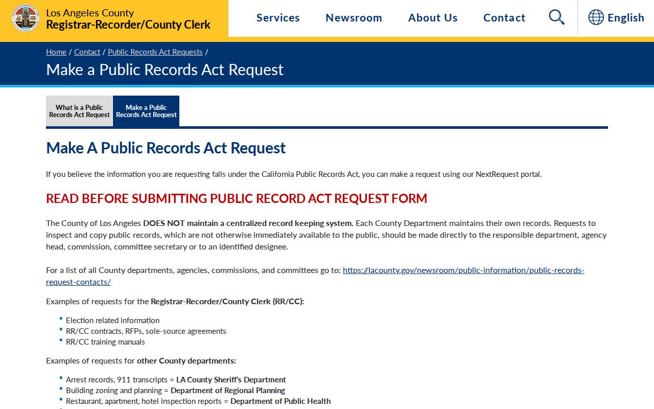
The distinction keeps a municipal permit question with Glendale and a county record question with the correct county custodian.
A subpoena instruction page is also a legal process channel, not an invitation to collect a block roster.
Los Angeles County subpoena instructions
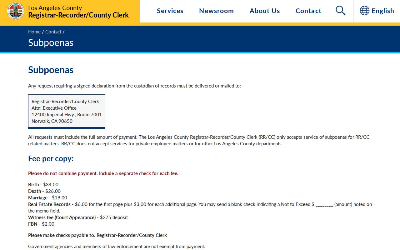
Use that material only when the defined legal process and the requester’s authority actually apply.
Glendale Voter Files Are Not a Street Browse
The LA County voter verification form requires last name, birthdate, house number, and ZIP code. It is a free self-check that returns the requester’s registration status or a no-match message. It is not a tool for browsing neighbors by street. The full or selected voter file uses the county voter and election file order form, a stated organization and purpose, geographic scope, delivery choice, and permitted-use certification.
California Elections Code sections 2180-2194 govern voter-file access and use. A file may contain registration information, residence and mailing address, precinct, party preference, and participation history, but driver-license data, Social Security components, signatures, full birth dates, and protected Safe at Home records are not ordinary public output. CPRA does not bypass those special rules. The county assistance line is (800) 815-2666, option 2.
For block research, use aggregate precinct or district context unless the requester and purpose meet the statutory requirements. A successful self-check confirms only the supplied person and address components as of system updates. It does not independently identify a stranger.
Community Contacts for Glendale Neighbors
Community sources can add human context when a map only shows lines. Their value comes from voluntary participation, so the result should be labeled as an organization contact or public role, not as a complete neighbor list.
| Resource | What It May Publish | Limit or Access Path |
|---|---|---|
| Glendale History Room | Local photos, maps, pamphlets, oral histories, and historic people-and-place context | Appointment at Central Library; reference-only, with much material in closed stacks |
| Neighborhood councils and watches | Public officers, meeting contacts, or a group mailbox | Voluntary civic information; not a household roster |
| Congregations, clubs, and cultural groups | Public leadership, programs, or contact channels | Affiliation is voluntary; verify the group’s own access rules |
| Glendale Historical Society and TELL ME | Community history and volunteered migration narratives | Research context, not proof of current residence or membership |
| HOA Areas GIS | Mapped association coverage and area boundaries | Identify, Find, and export support; no member names |
The Glendale History Room is at 222 E. Harvard Street and lists glendalehistoryroom@glendaleca.gov and (818) 548-2037. Montrose Library adds Crescenta Valley and Montrose material. Brand Library specializes in the Brand family, El Miradero, and art-center history. None should be treated as a citywide resident index.
Privacy Rules for a Glendale Neighbor Lookup
Private block facts include occupants who are not named in a public record, household composition, delivery and utility data, unlisted phone numbers, and protected addresses. DMV personal information is restricted by the federal Driver’s Privacy Protection Act. Safe at Home provides a substitute mailing address for eligible survivors and other protected people under its program rules. California privacy law, summarized by the Attorney General’s privacy guidance, gives covered consumers rights to know, delete, correct, and opt out of sale or sharing, subject to exemptions.
Official sources and commercial neighbor tools also answer different questions:
| Source type | Strength | Limit |
|---|---|---|
| Official parcel, permit, and map records | Custodian-held parcel facts, dates, boundaries, and defined case details | Owner, applicant, and parcel evidence does not equal a full household |
| Official voter channels | Self verification or controlled data under California election rules | No open street browse; protected fields and uses are restricted |
| Community directories | Volunteered roles, contacts, and local program information | Participation is selective and the list is not a resident census |
| Commercial neighbor-search category | May combine public and marketing data into a lead | Can be stale, merge people, confuse owners with occupants, and lack custodian authority |
A federal case index or a statutory registry has its own purpose and warning. PACER is federal court access, not a neighborhood file.
Likewise, the California Megan’s Law site offers only the information authorized for public display and warns against misuse.
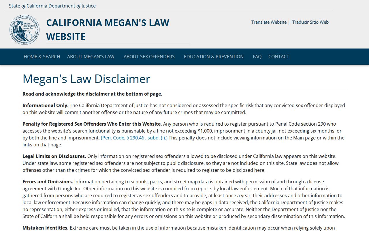
Neither source is a general way to identify people around a Glendale address.
Lawful use. Use a Glendale neighbors search for block understanding, civic contact, reconnecting, or personal safety awareness. Public information is not permission to watch, follow, threaten, or expose anyone. California Penal Code section 646.9 addresses stalking, and protected people must not be identified through indirect clues.