
Glendale ZIP Code Directory Coverage
Glendale's postal footprint has ordinary residential delivery areas, dense central districts, hillside approaches, a La Crescenta edge, and specialized rows that should not be read as neighborhoods. The table uses the local coverage descriptions in the research record. Post-office context is kept broad where a particular station was not verified. Every address still needs a live delivery check before it is assigned to a ZIP-based search.
| ZIP | Areas Covered | Post Office | Notes |
|---|---|---|---|
| 91201 | northwest/west Glendale, Grandview area | Glendale postal delivery | Can approach Burbank/Los Angeles municipal boundaries |
| 91202 | northwest-central Glendale | Glendale station/service | Mostly residential; city and ZIP boundary are not identical concepts |
| 91203 | central/west-central Glendale | Glendale | Includes dense central districts |
| 91204 | south/southwest Glendale | Glendale | Near Los Angeles city boundary; verify jurisdiction separately |
| 91205 | southeast/central-south Glendale | Glendale | Includes neighborhoods east/south of downtown |
| 91206 | civic center/east-central and canyon approaches | Glendale; City Hall uses 91206 | Broad terrain and municipal-service context |
| 91207 | north-central/hills | Glendale | Hillside parcels and fire/zoning layers matter |
| 91208 | northeast Glendale/Verdugo Woodlands area | Glendale | Near La Crescenta and mountain boundary complexities |
| 91210 | central commercial/Glendale Galleria area | Glendale | Limited/specialized delivery geography compared with residential ZIPs |
| 91214 | La Crescenta delivery area touching/north of Glendale | La Crescenta | Postal Glendale-area searches can include territory outside Glendale city limits; check city boundary |
| 91221-91226 | PO box/unique or organization-oriented Glendale ZIPs reported in postal datasets | Glendale-specific routing | Do not infer a residential neighborhood; validate a particular mailing with USPS |
The final row is intentionally cautious. The research did not verify a stable official neighborhood narrative for those specialized ZIPs. No population, street list, or residential area should be inferred from a postal dataset alone. A Glendale ZIP code directory can describe reported delivery categories, but USPS must decide what a live address receives.
The official Glendale ZIP layer is the source behind the map capture below.
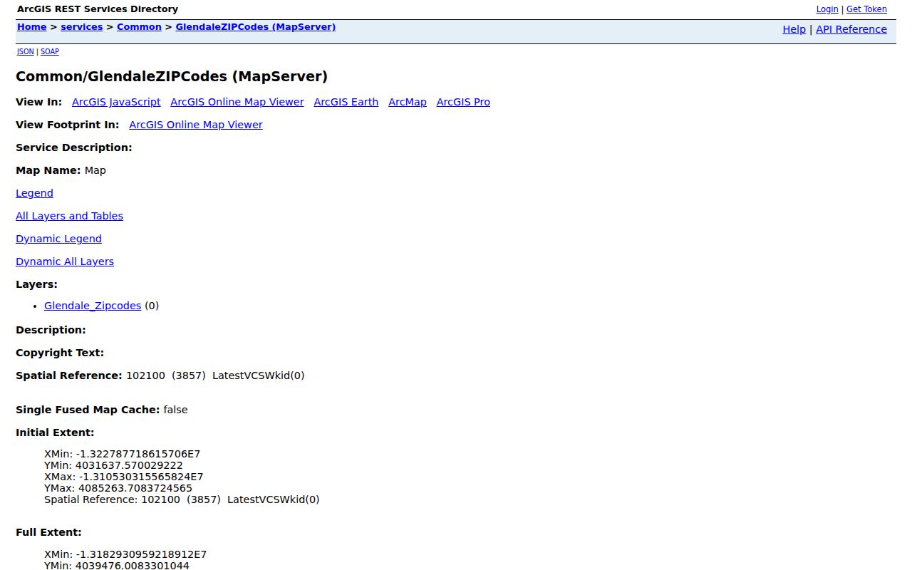
The layer supplies ZIP geography for map and query work. It does not contain a resident roster or replace address-level USPS verification.
Find Glendale Records by ZIP
A ZIP-keyed search is a sequence of geography checks. The Assessor portal can search a full address or AIN and return parcel details, but the research did not verify a public control that returns every parcel in a ZIP. Glendale GIS can show ZIP geometry and parcel relationships. Voter verification requires a person's last name, birthdate, house number, and ZIP together, so it cannot be used as a ZIP directory.
- Enter the complete mailing address into the USPS address lookup and save the returned ZIP.
- Open the Glendale ZIP layer and the city-boundary layer in the GIS catalog. Compare the delivery shape with the incorporated city line.
- Use the Los Angeles County Assessor Portal by address or AIN for parcel facts, while remembering that the public web search does not display owner names.
- For your own voter record, use the four-field LA County verification form. A full or selected voter-file request is a separate controlled process with a permitted-use declaration.
- Once a ZIP narrows the geography, continue address-by-address through the Glendale by-street records route.
The result of a ZIP search is usually a set of candidate parcels or delivery areas. It becomes person-specific only when a lawful custodian supplies a record that matches the address, name, or purpose.
Glendale ZIP Maps Show Delivery Geography
Glendale's ArcGIS service catalog exposes machine-readable layers for ZIP codes, streets, neighborhood zones, historic parcels, historic districts, and the city boundary. The ZIP layer can be paired with parcel or neighborhood geography, but a map polygon only answers where a route or area is drawn. It does not establish who receives mail, who owns a parcel, or who occupies a building.
The Glendale GIS service catalog shows the broader collection of map services used for the ZIP comparison.
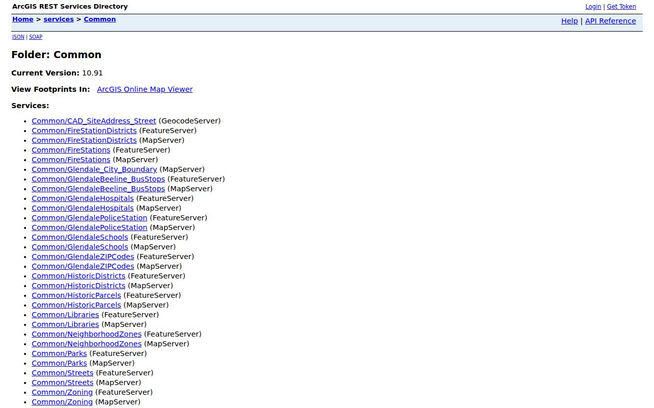
Use the catalog to locate the GlendaleZIPCodes and Glendale_City_Boundary layers together. A layer query can support geography research, but it remains a map result rather than a directory of residents.
Glendale ZIP 91214 and La Crescenta
ZIP 91214 is the clearest local warning against equating a postal city with an incorporated city. The research describes it as a La Crescenta delivery area touching or lying north of Glendale. A search for a Glendale-area mailing address can therefore reach territory outside Glendale's city limits. City services, permits, police records, and municipal maps follow jurisdiction, not the postal line.
Check the city boundary and the actual site address before routing a record request. The same discipline applies near Los Angeles and Burbank edges, where a Glendale postal context can approach another municipal boundary. The official parcel and boundary layers help, while USPS remains final for deliverability.
The USPS ZIP lookup capture demonstrates the address-first check needed at the La Crescenta edge.
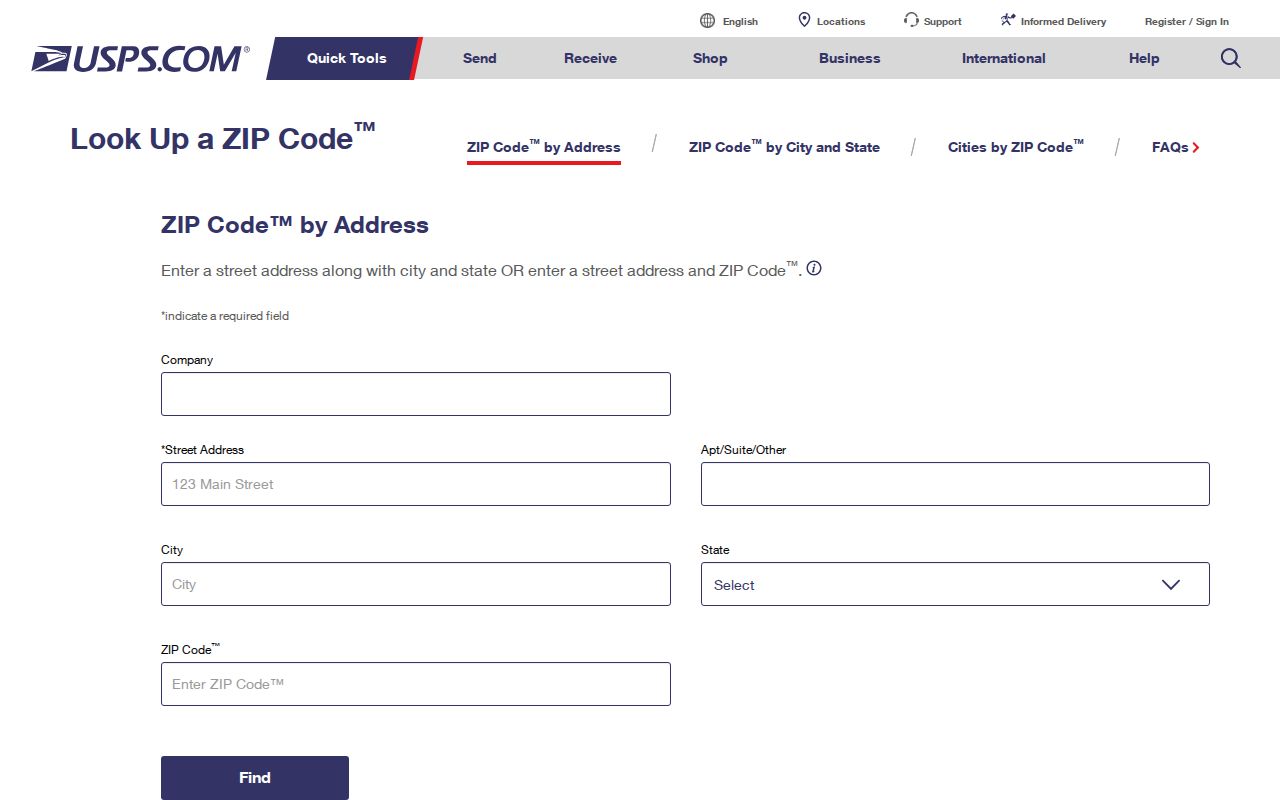
That check establishes a delivery ZIP for one address. It does not determine Glendale city jurisdiction, property ownership, or a person's residence.
91221-91226 Need Live USPS Checks
ZIPs 91221 through 91226 are reported in postal datasets as PO-box, unique, or organization-oriented routing. They are not assigned a residential neighborhood description here. A postal code in this range should never be expanded into a list of homes or residents without a particular mailing address and a live USPS result.
For a specialized ZIP, record the exact input address, the returned delivery ZIP, and the date of the check. Then compare the result with the Glendale city boundary and the parcel's situs. If the request concerns a PO box or an organization, the postal route may point to a delivery channel rather than physical land in Glendale.
Glendale ZIP Fields in County Records
Search labels matter because an apparent ZIP filter may only be a display field. The documented assessor and voter controls use the following fields. The Assessor's public web route is address or AIN based; the voter form is identity based and self-only.
| Portal | Field or control | Required | Format or limit |
|---|---|---|---|
| Assessor | Basic Search | No | Opens the standard address/AIN route |
| Assessor | Legal Search | No | Legal-description-oriented search |
| Assessor | Search by AIN or Address | Yes | AIN or situs address; multiunit and corner parcels can differ |
| Assessor | Map Search | No | Pan, zoom, and click parcels |
| Assessor | Assessor Internet | No | Opens the assessment detail view |
| Voter verification | Last Name | Yes | Alphabetic text |
| Voter verification | Birthdate | Yes | mm/dd/yyyy |
| Voter verification | House Number | Yes | Numbers only |
| Voter verification | Zip Code | Yes | Numbers only; not a stand-alone ZIP browse |
| Voter verification | Submit or verify control | Yes | Returns the supplied person's registration response |
Public assessor results can include AIN, property address, city and ZIP, legal description or map reference, property use, assessed values, tax-rate area, transfer indicators, and building characteristics where available. Owner names are withheld from the web portal and available through official offline or data-sales channels. Voter information is governed by Elections Code §§2180-2194, not by a general ZIP search rule.
Glendale Parcels Use Four Address Keys
A ZIP code directory becomes easier to audit when four address systems are kept separate. USPS controls delivery. The situs address identifies the physical parcel in assessment work. The mailing address is where tax or assessment correspondence goes. The legal description, such as a tract, lot, block, or other recorded description, controls title and can remain stable when a street name changes.
The AIN is the county's parcel identifier. It is often the best bridge between the Assessor, maps, tax material, and deeds. A corner, condominium, commercial, or newly enrolled parcel may not match the typed street string. If a search fails, use nearby cross streets, map mode, and the legal description rather than assuming that the parcel is absent.
For a city address question, Glendale Planning and Engineering and Building & Safety are practical authorities, while the city's CAD_SiteAddress_Street service supplies geocoding context. Those municipal channels clarify an address or property record; USPS still controls delivery assignment and the Assessor controls parcel identification.
None of these keys is a resident list. A matching mailing and situs address can support a property connection, but it does not prove occupancy. A deed proves a recorded transfer, not who lived at the address during a particular month.
Glendale ZIP Code Versus City Limits
ZIPs are delivery routes, not municipal boundaries. An address may use a Glendale postal label while sitting outside incorporated Glendale, especially around La Crescenta, Montrose, Los Angeles, and Burbank edges. A city parcel can also carry a nearby postal context. The proper local test is an overlay of the GlendaleZIPCodes layer with Glendale_City_Boundary, followed by a USPS check for the exact address.
- ZIP versus ZIP+4
- A ZIP identifies a broader delivery area. ZIP+4 adds a more precise delivery segment, such as a block range, building, or box group.
- PO-box ZIP
- A postal code used for box delivery rather than a normal street-delivery neighborhood.
- Unique ZIP
- A specialized code assigned to one organization, facility, or other defined delivery account.
- Carrier route
- A delivery sequence or route inside a postal service area. It is not a city boundary or a public resident roster.
Boundary check. A Glendale ZIP is evidence about mail delivery. Use the city boundary, parcel situs, and the appropriate custodian before treating a record as a Glendale city record.
Glendale's Plat and Annexation Trail
Boundary mismatches have a local history. Glendale grew from the Rancho San Rafael land division and the 1871 Great Partition. Six land contributors formed the original 150-acre townsite, which was platted and recorded with the County Recorder as the Town of Glendale in 1887. The city incorporated in 1906 on 1,486 acres.
By 1920, nine annexations had expanded Glendale beyond 7,000 acres. Ten more annexations in the 1920s brought it to 12,294 acres, and later additions helped produce the city's roughly 30.5 square miles. A present-day mailing line can therefore sit on land that entered Glendale's municipal record at a different time. Historic parcel maps, directories, Sanborn sheets, the legal description, and the AIN help bridge those changes.
The city describes 34 neighborhoods bounded by streets, washes, and mountain ridges. The GIS catalog's neighborhood and HOA layers are useful context, but they do not create a list of the people in each area.
The official HOA Areas layer is a companion geography source.
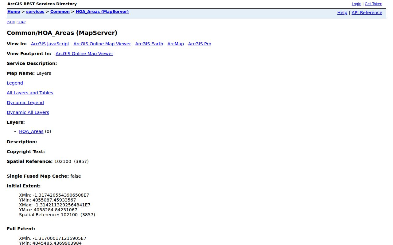
The HOA layer maps association areas, not members. It can help explain why civic or neighborhood boundaries do not line up with a ZIP route.
Protected Addresses in a Glendale ZIP Directory
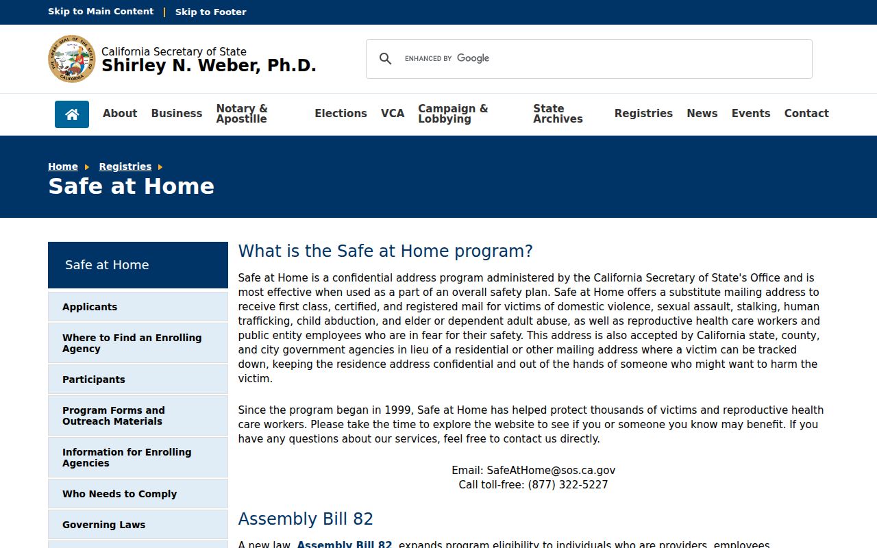
A ZIP map may be public while a person's address is protected. California's Safe at Home program provides a substitute mailing address for eligible survivors and other qualifying participants under Government Code §6205. Voter confidentiality rules, the federal Driver's Privacy Protection Act, utility privacy, sealed court files, and other statutes can leave a blank space in an otherwise complete geographic picture.
The Safe at Home program information capture shows why a mailing address should not be treated as a complete location history.
California Public Records Act requests under Government Code §§7920.000 et seq. can seek existing records, but CPRA does not override a specific confidentiality rule or create a resident database. The same caution applies to voter-file extracts, which require a lawful permitted purpose.
The California Attorney General privacy guidance provides the state-level context for deletion, correction, and opt-out rights that may apply to covered personal data.
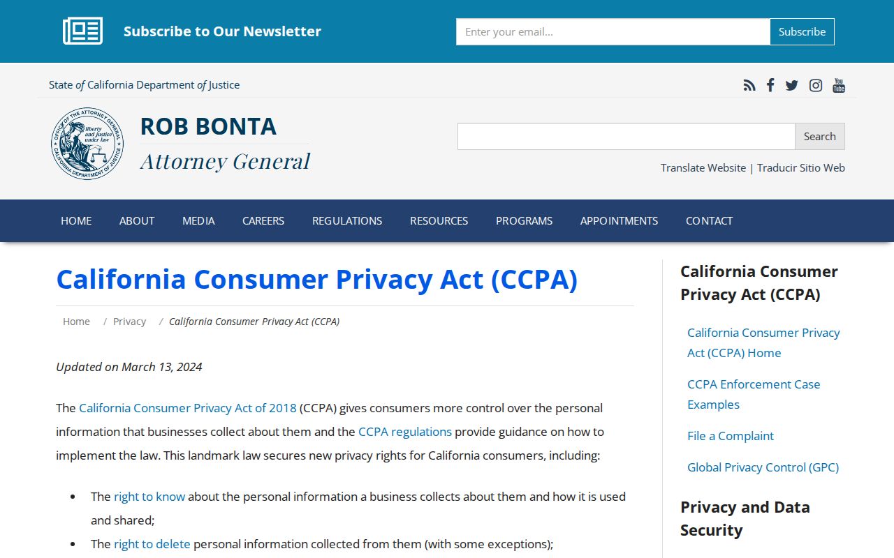
Privacy rights can affect data held by a private provider, but they do not turn a ZIP layer into a person list or remove a government custodian’s separate disclosure rules.
Use a ZIP code directory for parcel and delivery research, civic geography, family-history clues, or a narrow records request. Confirm the source office before relying on a boundary or address, and never publish a map or record to follow, expose, threaten, or harm a protected person.